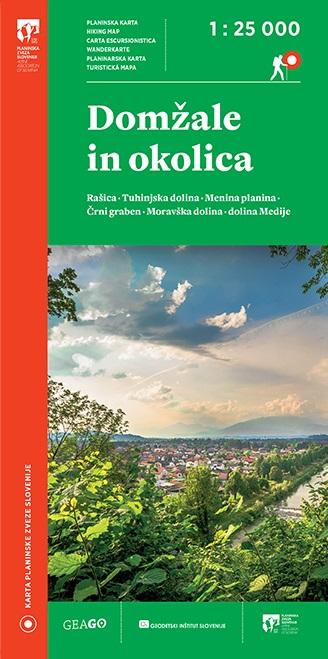
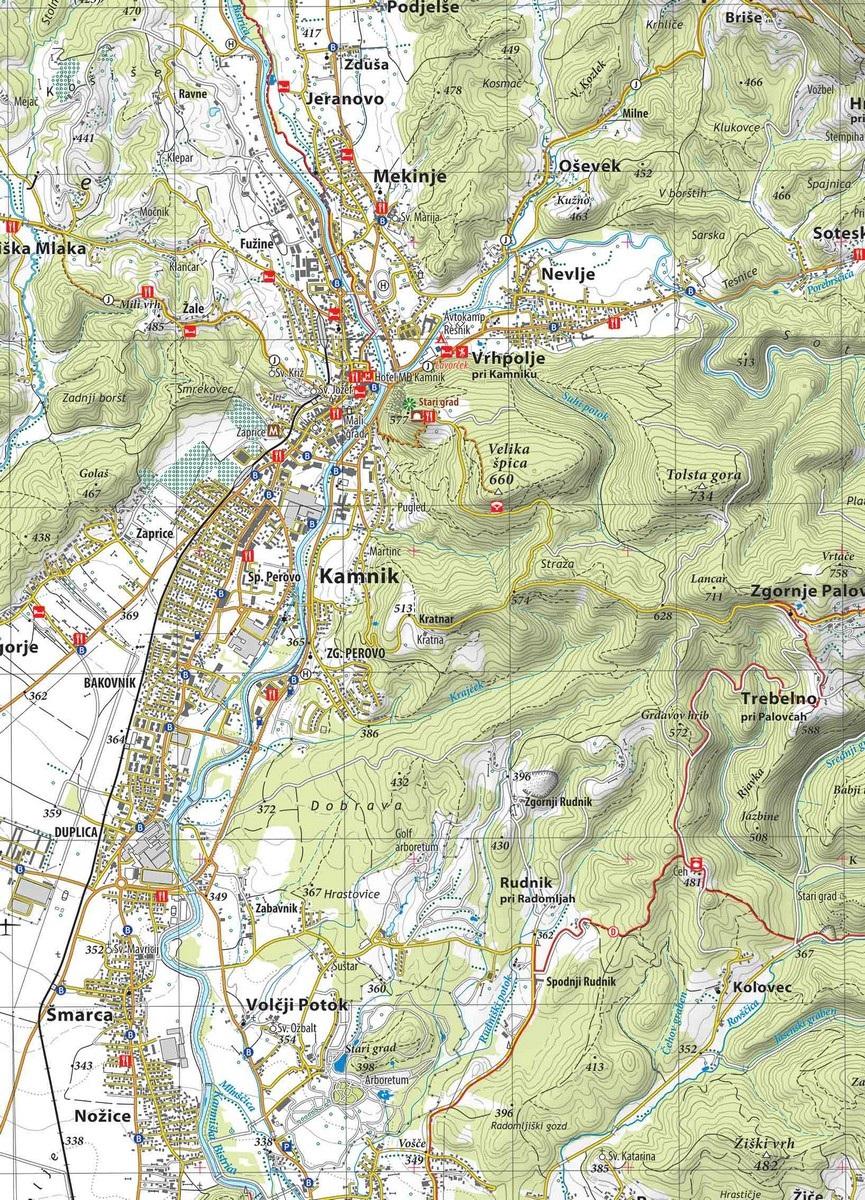
The mountain map of Domžale and the surrounding area - 1:25,000 will come in handy for anyone who would like to explore the wider area of Domžale, Lukovica, Moravče, Dolsko, Črnuče, Gameljne, Vodice, Komenda, Mengeš, Trzin and Kamnik. Above them you will find popular excursion spots of the Kamnik-Bistrica field - Rašica with access from all sides, Domžale's house peaks Šumberk and Križentaver, Kamnik's Špica and others.
The map of Domžale and its surroundings - 1:25,000 includes, in addition to the mentioned settlements, the westernmost part of the Posavsko hribovje between the Sava and the Moravče Valley (you can climb the popular Muravica, Cicelj, Ušte, Limbarska Gora and Golčaj) and the southern slopes of the Kamnik-Savinja Alps above the Tuhinjska Valley ( they are dominated by Menina planina with marked approaches from the south and west sides) and Kamnik and Komenda.
The presented area is rich in mountain trails. The Domžalska path of memories and the Rokovnjaška path are fully covered, as well as a large part of the Moravče and Komenda mountain paths and other bypasses, as well as part of the European footpath E6 and the Slovenian tour cycling route.
On the mountain map of Domžale and its surroundings - 1:25,000, we can find, in addition to mountain trails and mountain huts, many other useful information, such as organized parking lots, public transport stops, guest houses, tourist farms, many natural and cultural attractions of the area, many sports facilities (climbing areas, paraglider landing sites, etc.) and more.
The product has no ratings yet. Help other users make their choice and add your review. You can win up to 4 cones by submitting a review and a photo of your product!